

A rural property may seem like a simple opportunity: a lot of land for little money. But what you’re really buying isn’t square meters—it’s the uses that the law permits on that land. At Domoblock, we often see properties advertised as “ideal for building” where you can’t even put up a shed, and sellers who can’t close a deal because of a discrepancy in the land area between the Cadastre and the Land Registry.
In this guide, we explain what a rural property is, what you can do on it, and how it’s valued—with a numerical example showing why land use matters more than land area. We also walk you through the step-by-step process of selling it, what documents to gather, and what taxes are involved, so the transaction doesn’t stall at the last minute.
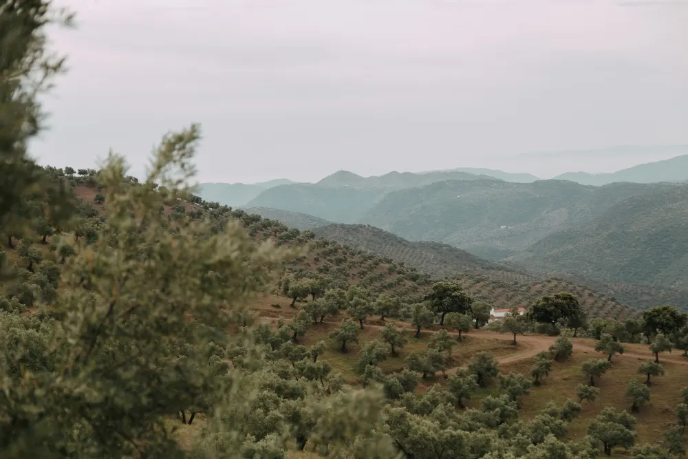
It is land that urban planning designates as off-limits to urban development, either because of its agricultural, forestry, environmental, or scenic value, or because it is not necessary for the city’s growth. State legislation refers to it as “land in a rural setting” (Article 21 of the Consolidated Text of the Land Law), while regional laws classify it as “rural” or “non-developable.”
The practical consequence is clear: on rural land, the land can be used in accordance with its natural purpose (farming, raising livestock, managing a forest), but construction is the exception and always requires authorization. Therefore, before considering the price, it is important to know exactly what the zoning plan allows on that specific parcel, because two neighboring properties may have very different possibilities.
This is land that does not have special protection. It permits agricultural uses and, with authorization, certain related structures or activities in the public interest. This is the category with the greatest flexibility, although each autonomous community sets its own conditions regarding minimum lot size, building coverage, and setbacks, so you should never assume that something is permitted.
This land is protected due to its environmental, scenic, or cultural values, or because of natural hazards: sites in the Natura 2000 Network, floodplains, and public forests. The possibilities for construction are practically nonexistent, and, furthermore, certain agricultural activities may be restricted. Its value typically depends on its agricultural or forestry use and, at times, on the interest of buyers seeking recreational or conservation opportunities.
This is a classification by land use, not by zoning. A plot of land may be classified as general rural land and used for olive groves, pastures, or woodland. Current use greatly influences its value and the type of buyer: a farmer values fertile soil and water, while a hunter or forestry company looks for contiguous land and easy access.
Some regional laws permit, through a special authorization, non-agricultural uses: isolated industrial activities, public facilities, and tourism or energy infrastructure. These require a specific procedure, involving reports from various government agencies, and often the payment of a fee to the local municipality. Processing times can stretch on for months, a factor that must be taken into account in any transaction.
This is a misleading term. Land is either rural or developable according to the zoning plan. What is sometimes advertised this way is developable land that has not yet been developed, which, for the purposes of state valuation, is classified as rural. Just because the zoning plan allows for it does not mean construction can begin soon: it may take many years or never happen at all, and in the meantime, the owner bears taxes and expenses without any income.
This is the official document that specifies the land class, category, and permitted uses. It is the most reliable source and the first document we request when analyzing a property. It is obtained from city hall, usually at a low cost, and avoids relying on what the listing or the seller says about the land’s potential.
The general plan, available on the city or regional government’s urban planning portal, shows the classification of each parcel and its regulations. It’s useful for a quick initial check, but it’s also a good idea to verify whether there are any proposed amendments or special plans affecting the area, as these can change the permitted uses.
On the Cadastre’s online portal, you can see whether the property is classified as rural or urban. Note: The cadastral classification is for tax purposes, not zoning purposes. A plot of land zoned for development may be listed as urban in the Cadastral Registry but be classified as rural for construction purposes, which also affects the Property Tax (IBI) and the municipal capital gains tax.
This confirms the owner, the registered area, and any encumbrances or easements. It is essential before paying any amount, as it reveals mortgages, liens, or third-party rights that the seller may not mention. It can be requested online through the Registrars’ website and is received within a few hours or days.
It is very common with older rural properties for the area listed in the Registry, the Cadastral Registry, and the actual physical area to differ. Since Law 13/2015, Article 199 of the Mortgage Law has allowed for the reconciliation of these two records through a georeferenced graphic representation. Resolving this issue before the sale prevents delays, problems with the buyer’s financing, and last-minute price reductions.
Check for rights of way, livestock trails, watercourses, flood zones, or protected areas. Each of these restricts use and can affect the price. The online maps provided by the river basin authorities and environmental agencies in each autonomous community allow you to check many of these restrictions at no cost before making a commitment.
This is the natural use of the land. According to Article 13 of the Consolidated Text of the Land Law, the owner may use and enjoy the land in accordance with its agricultural, livestock, forestry, or hunting purposes. These uses generally do not require a zoning permit, although they may require sector-specific authorizations, such as for irrigation or logging.
Agricultural warehouses, livestock barns, or tool sheds may be authorized if their connection to the farm is justified and minimum area, distance, and maximum occupancy requirements are met. Normally, proof of agricultural activity must be provided and a technical plan submitted, and the municipality may deny the permit if the structure is disproportionate to the farm’s operations.
Farmhouses, country estates, or old farmhouses can be renovated in many regions, sometimes with a change of use to residential or rural tourism. This depends on whether the building is legal or has acquired historical status, as well as on what regional law permits. Before purchasing a property with this in mind, it’s advisable to request a preliminary report from the local government regarding the feasibility of the renovation.
Photovoltaic plants, rural guesthouses, or other facilities can be established through special permits or declarations of public interest. Leasing the land to a renewable energy company has become a common solution for properties with no agricultural yield, provided they are near a connection point to the power grid and are not subject to environmental protections.
Erecting a fence, digging a well, building a road, or moving earth typically requires a municipal permit and, in some cases, sector-specific authorizations (water, environment, roads). A well, for example, requires authorization or a concession from the watershed agency, and a hunting fence may be subject to specific conditions. Doing so without permission exposes you to fines and orders to restore the property to its original condition.
It depends on the autonomous community, and the general answer is: only in specific, limited cases. Some laws allow for a single-family detached home on ordinary rural land if very strict requirements are met. In the Valencian Community, for example, Article 211 of the TRLOTUP permits this provided the lot is of a minimum size, the building footprint is very small, and there is no risk of creating a population center. Other autonomous communities require that the home be linked to an agricultural operation.
What is never permissible under any circumstances is building without a permit on the assumption that “no one will say anything.” Illegal construction on rural land may be ordered to be demolished, and on protected land, the government may take action without any time limit. Furthermore, a home built without a permit complicates a future sale, because the notary and the buyer will discover that it cannot be properly registered.
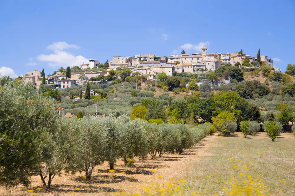
The value depends on three main factors: what the zoning plan allows, what the land produces or can produce, and the demand in the area. Added to this are water, access, orientation, fertile soil, infrastructure, and proximity to urban centers. Two properties of the same size can have very different prices simply because one has irrigation and the other does not.
In cases of expropriation, Article 36 of the Consolidated Text of the Land Law values rural land by capitalizing on its actual or potential income, without taking into account urban development expectations. The market, on the other hand, does factor these in—sometimes to an excessive degree. This difference explains why some buyers pay prices that agricultural income could never justify.
This is the most commonly used method. It compares properties of similar size, crop type, water availability, and access; it is best to use actual sale prices rather than asking prices. Asking prices are often inflated, so it is advisable to rely on data from notaries, land registrars, or appraisers, or to consult farmers and real estate agents operating in the region.
Divide the net annual income that the property generates or could generate by a capitalization rate. This method best reflects the value of the land as a productive asset and allows for comparing alternative uses of the same parcel. A hypothetical example:
These figures are approximate, but they illustrate why potential use carries more weight than land area. They also highlight the risk: if approval for the renewable energy project is not granted or the developer withdraws, the value returns to a level closer to that of agricultural rent.
One must add the value of plantations (a mature olive grove or a vineyard in production), wells with water concessions, irrigation systems, buildings, and roads. A registered water right can multiply the value of a dryland farm. Conversely, a barn without a permit or a well without a water concession can reduce the value, because the buyer assumes the risk of bringing them into compliance.
The cadastral value of a rural property is usually very low and does not serve as a price reference. The Cadastre’s reference value and regional values are used to calculate taxes such as the ITP. Market value is what an actual buyer is willing to pay, and it can be significantly higher or lower than the other two.
When the property has crops, water sources, or buildings; in cases of inheritance and property division among siblings; and if the buyer needs financing. An appraiser with experience in rural properties in the area provides information that an online property portal cannot. The cost is minimal compared to the risk of setting the wrong price or dividing an inheritance incorrectly.
Deed, abstract of title, descriptive and graphic cadastral certification, zoning certificate, and, if applicable, water concessions and lease agreements. Having everything ready before listing speeds up negotiations and conveys professionalism, because the buyer can verify the information without waiting weeks for the documents to arrive.
If the Cadastral and Land Registry records do not match, it’s best to reconcile the area measurements before looking for a buyer. If the property is registered in the name of a deceased family member, you must first settle the inheritance. Both processes can take months, and handling them while a buyer is waiting often results in price reductions or a canceled sale.
Set the price based on comparable properties and on what the property produces or can produce. A price based on nonexistent urban development expectations will scare off serious buyers. If the property has a real alternative use, such as a signed lease for renewable energy, document it to justify a price higher than the agricultural market rate.
Neighboring farmers looking to expand, renewable energy investors, recreational buyers, or forestry companies are all seeking different things. The listing must speak their language: farmers are interested in water and yield; investors, in income and electrical hookups; and recreational buyers, in the surroundings and access.
Land area, zoning classification, crops, water, access roads, electricity, and structures along with their legal status. Avoid phrases like “ideal for building” if it isn’t true. An accurate listing filters out casual browsers and reduces the risk of later complaints for promising something that zoning regulations do not allow.
Show property boundaries, wells, irrigation systems, and access roads. If access depends on an easement, have the title documented. It’s best for the buyer to see the property in its actual condition, with boundary markers clearly identified, to avoid future disputes over where the parcel begins and ends.
Promising uses not permitted by the zoning plan can lead to the sale being voided or to claims. If the buyer wishes to build or change the land’s use, it is reasonable to make the purchase contingent upon obtaining the necessary authorization, with a specific deadline and a provision for the return of the deposit if authorization is not granted.
The deed is signed before a notary, taxes are paid, and the transfer is registered in the Land Registry. The change is then reported to the Cadastral Registry, although the notary and the registrar usually handle this. If the property has adjacent owners with a right of first refusal, it is advisable to consult with the notary on how to manage this so that the sale is not jeopardized.
If the seller is an individual, the difference between the sale price and the purchase price (adjusted for expenses and improvements) is taxed as capital gains under the personal income tax (IRPF) “savings” bracket, at rates ranging from 19% to 30%. It is advisable to keep invoices for improvements, such as wells or irrigation systems, because they increase the acquisition value and reduce the capital gain.
Municipal capital gains tax is levied on the increase in value of urban land. Rural land is generally not subject to this tax. However, if the Cadastre classifies it as urban (for example, designated developable land), the tax may still apply even if construction is not permitted on the property. That is why it is important to verify the cadastral classification before calculating the sale price.
In transactions between private individuals, Property Transfer Tax (ITP) is paid at the rate set by each autonomous community. If the seller is a business owner, the sale of rural land is generally exempt from VAT and subject to ITP, unless the exemption is waived in permitted cases. The tax is normally paid by the buyer, but it affects the price the buyer is willing to offer.
Notary fees, registration fees, georeferencing or a topographic survey if the land area needs to be corrected, and the real estate agency’s commission if it is involved. It is advisable to specify who pays for each of these in the earnest money agreement. If the property requires a topographic survey, having it done before listing prevents the buyer from using it to negotiate a lower price.
It depends on the purpose of the purchase. As an agricultural investment, returns are typically low: agricultural lease income rarely exceeds a few percentage points above the land’s value. As a real estate venture, the risk is very high and the timeline uncertain, as it depends on political and planning decisions beyond the owner’s control.
The most economically sound cases are usually those involving properties with a clear, income-generating use: a profitable crop with a guaranteed water supply, a lease for renewable energy, or a building suitable for renovation into rural tourism accommodations with the necessary permits. Liquidity is also low: selling a rural property can take a long time, and there is no guarantee of recouping the invested capital if the local market cools off.
At Domoblock, we focus on urban housing with timelines of 6 to 12 months, because rural land rarely fits within that timeframe. As Óscar Peñaranda sums it up, “selecting the right project is crucial to delivering high returns in a short period,” and with rural land, the approval timelines are often incompatible with that approach.
Domoblock allows you to gain access to selected real estate projects structured using tokens, starting at €200, through a 100% online process supported by blockchain technology. Compared to the direct purchase of a rural property—which requires analyzing its classification, permitted uses, encumbrances, profitability, and liquidity—this model makes it easier to participate with a smaller investment and diversify capital across opportunities. Tokenization provides operational traceability, but it does not replace legal due diligence nor does it eliminate the risks inherent in any real estate investment, including the potential loss of capital and liquidity constraints.
There is no single figure: each autonomous community and each zoning plan sets the minimum lot size, maximum building coverage, and distances to property lines. For residential homes, when permitted, large lots are typically required—often one hectare or more. Always check the zoning certificate for the specific property.
Yes. For zoning purposes, a prefabricated or modular home that is permanently installed is considered a structure and requires a permit, just like a traditionally built home. The fact that it can be moved does not exempt it from this requirement. Installing it without authorization may result in a removal order and a fine.
Only if each resulting portion meets the minimum farming unit size established by your autonomous community and urban planning regulations. Subdivisions below that minimum may be deemed null and void under Law 19/1995 on the modernization of agricultural holdings. Furthermore, many laws prohibit subdivisions that could give rise to new population centers.
For rural properties smaller than one hectare, Article 1523 of the Civil Code grants adjacent property owners a right of first refusal if you sell to a third party. They may purchase the property by paying the same price. It’s important to keep this in mind before finalizing the price with a buyer.
Yes, if the property meets urban planning and environmental requirements and is located near a grid connection point. These are typically long-term leases, ranging from 25 to 35 years, with an annual rent per hectare. Consult an attorney regarding the decommissioning clauses at the end of the lease.
Yes. It is subject to the Real Property Tax (IBI) for rural properties, typically at low rates due to the reduced assessed value of these properties. If there is a structure on the property, that portion is taxed under specific rules. The IBI tax bill also serves as useful proof of ownership and the property’s cadastral reference.
With rural land, the value lies in what the law allows you to do with it, not in the square meters. Our practical advice: Before buying or setting a sale price, request the zoning certificate, the property abstract, and the cadastral certificate, and compare all three. If they match and the permitted use aligns with your plans, you have a solid foundation for negotiation; if not, resolve those discrepancies before signing anything.



Rúa Progreso, 27
Funded
Target
1.575.297,50 €